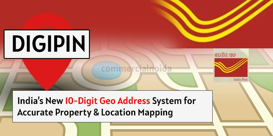
DIGIPIN: India’s Modern way for accurate Property & Location Mapping
The Department of Posts, along with IIT Hyderabad and the National Remote Sensing Centre (a key center under ISRO), has developed a new geo-coded addressing system in India.
This system is designed to provide a unique 10-digit identification number to each land mass in India to track the location precisely. It aims to resolve issues related to inaccurate addresses, which often lead to inefficiencies in logistics, deliveries, or even general tasks.
In this blog, we will talk about every aspect of the DIGIPIN system—how it collects data, uses it, how to register and know your DIGIPIN, and how it divides regions.
How DIGIPIN Works
It works by assigning a unique digital code to every small square of land in India, about 4 meters by 4 meters in size. This code is generated using the latitude and longitude of that location.
India is divided into millions of such tiny squares, and each one gets its own 10-character alphanumeric code (like “39J-49L-L8T4”). These codes help identify any place accurately—whether it’s a house, a shop, a field, or even a location in the sea.
The system does not use personal names or property details, only location data. It works offline too, and the code never changes—even if the area gets new buildings or road names. So, DIGIPIN makes finding, verifying, or sharing a location fast, reliable, and very simple, especially for deliveries, government services, emergencies, and bank verifications.
Will DIGIPIN Replace Traditional Addresses?
No, It will not replace traditional addresses. The Department of Posts says it will simply add a digital layer to make addresses more accurate. It won’t change or remove existing postal addresses. While a normal address uses details like area, street name, and house number, it is based on a geospatial system that uses a 10-character code linked to exact map coordinates.
How to Know Your DIGIPIN
To know your DIGIPIN, visit the India Post Know Your DIGIPIN site. It will ask for location permission—approve it. Then, it will show your current location’s ten-digit code, as shown in the image below.

To get your code, users will need a device that supports the Global Navigation Satellite System (GNSS), so they can find their exact location using latitude and longitude. This location information will then be turned into a DIGIPIN code.
The Department of Posts is creating an app to help users access their DIGIPIN. Also, the code used to generate and read the pin will be made publicly available, so anyone can use it to get or decode a DIGIPIN.
Difference Between DIGIPIN and Pincode
Pincode is used for a large land area—for example, a district, city, or sector. So, by putting a pincode, you can access that entire large area’s location. But in DIGIPIN, every area is divided into 4x4 square meters, and all these squares have a unique Code.
For example, if your home is bigger than 16 square meters (which it most likely is), then your home will have different codes for each 4x4 square meter. It allows anyone to access a pinpoint location.
Does It Need Personal Information?
No, DIGIPIN does not need any personal information. It only uses the latitude and longitude of a place. The code is connected to a location, not to a person, so no personal data is collected or stored.


.webp)


.webp)


.webp)


.webp)